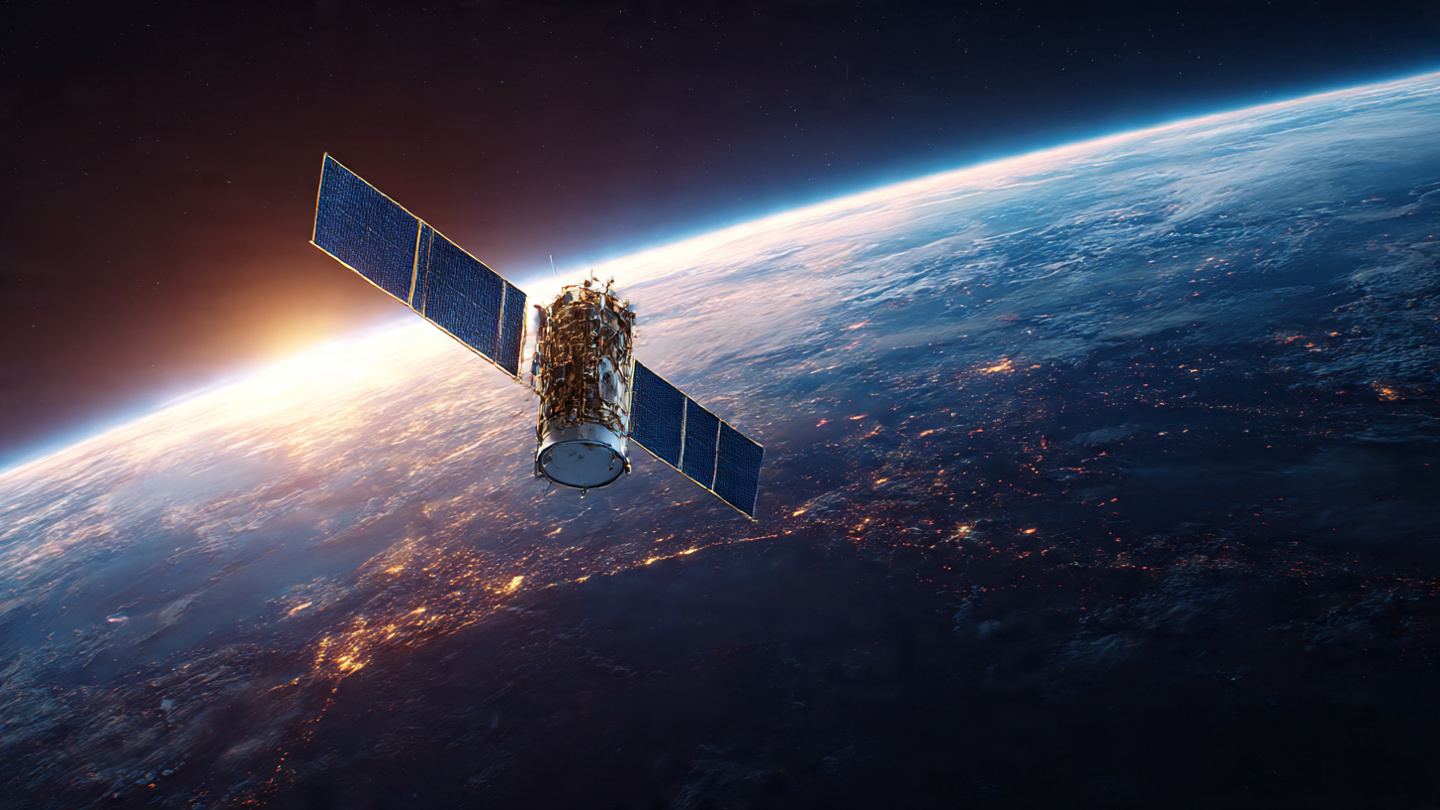
We can now see clear, reproducible records of Earth’s systems thanks to satellites. They keep an eye on greenhouse gases, map ocean temperatures, and see how wildfires are growing from space so that governments and responders can act more quickly. This article talks about how satellites are fighting climate change in 2025, who is involved, what technology is being used, and what will happen next.
Getting Started
The point is, satellite records now make it clear what climatic decisions we should make. Sensors in orbit assess methane plumes, keep an eye on CO₂ levels in the atmosphere, and map the heat on the surface of the sea to find hidden patterns. Governments utilise data from Earth observation to examine claims about emissions and to find people who need help. Real-time climate analytics help insurers, cities, and NGOs act more quickly. This article gives real-world examples, lists the main goals, and talks about the technological changes that make How Satellites Are Fighting Climate Change in 2025 not just a theory but something that is already happening. You will get short, relevant explanations, a data table, a small case study, and five clear questions and answers that work well with voice search.
How Satellites Are Helping to Stop Climate Change in 2025

What Is Really Going On in 2025
In 2025, satellites will stop being used only in specialised labs and will start being used as regular climate tools. Small, inexpensive satellites fly in groups and provide governments with constant climate monitoring that they can access every day. This change makes things more clear and cuts down on the time between finding something and responding to it.
Expect a mix of public missions and commercial constellations that boost revisit rates and spectrum depth. Analysts use both remote sensing for climate change and ground sensors to check models more quickly. That blend allows planners more up-to-date information for making changes, setting insurance prices, and checking emissions.
Space is giving the climate catastrophe actual data-driven help.
Satellites now send out maps of greenhouse gases and alerts for wildfires all the time, which helps with relief and policy. Satellites that watch greenhouse gases and find wildfires help rescuers find hotspots before they turn into disasters.
How satellite technology has changed over the past ten years
Smaller sensors, better spectroscopy, and cheaper launches all made the cadence go up and the cost go down. Satellite images for deforestation and hyperspectral imaging can now provide details that were only available in national labs.
Why Satellites Matter in Climate Action: Reasons Related to the Article
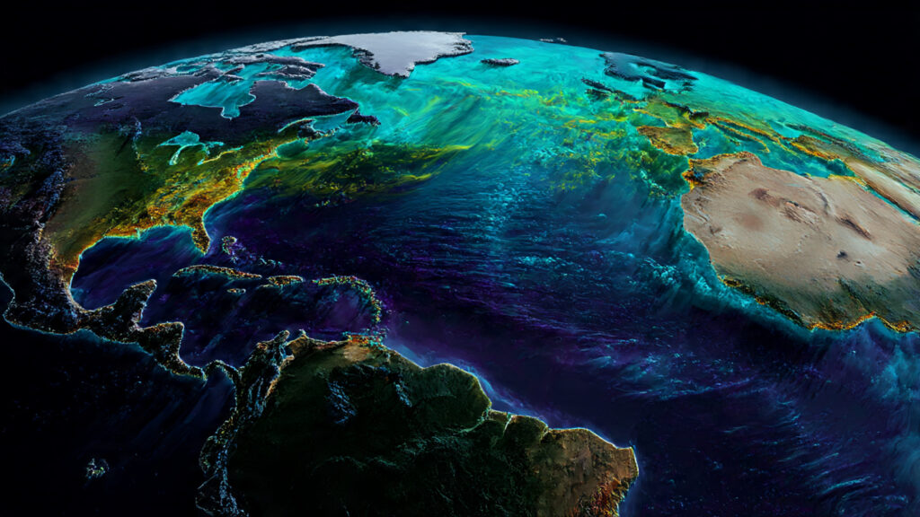
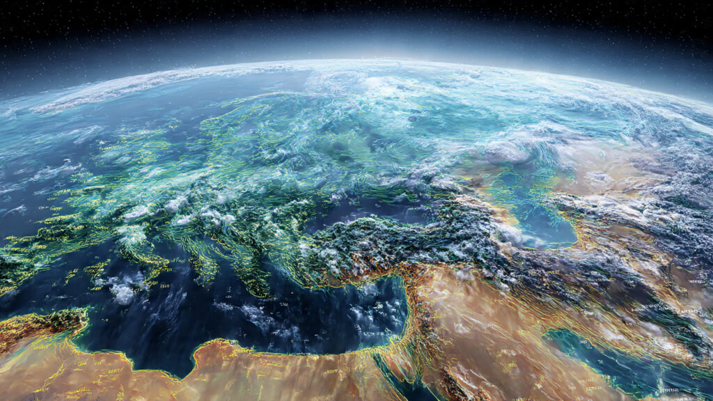
Let’s split it down: satellites can see the whole world, which ground networks can’t do. They show pollution and ocean heat patterns that traverse borders, so you can compare areas and hold people responsible. Ocean heat mapping and global temperature mapping show us things that used to be blind spots in our own areas.
Satellites also make sure that measurements are the same in all nations, which makes it easier to reach agreements in climate discussions. Independent carbon tracking satellites improve transparency and give information that may be used to make changes in your area, like planning for droughts or building defences along the shore.
We can see the whole world from space, which no one else can do.
Orbiting platforms weave together local snapshots to make continental tapestries, which makes trends show up faster. Earth observation data shows the long arc of change in months, not decades.
They keep an eye on CO₂, methane, and pollutants with perfect accuracy.
Spectrometers can pick up gas signatures from space, which lets analysts figure out if plumes come from factories or nature. Monitoring CO₂ levels in the atmosphere and greenhouse gases lets us aim our efforts to reduce them.
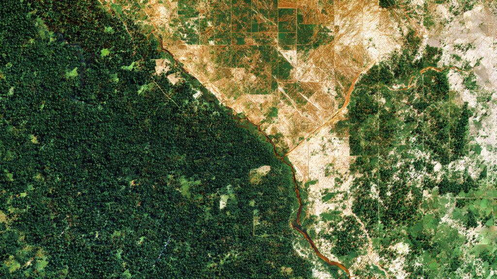
They see glaciers melt, forests perish, and oceans get warmer.
Using the same methods, time records from satellites demonstrate that ice mass is decreasing, forest cover is decreasing, and the sea surface is changing. Satellites that detect deforestation and monitor the ocean measure how much physical loss there is and how quickly things are changing.
How Satellites Find Changes in the Weather Before We Do
Satellites can pick up early signs of problems, including soil moisture dropping and sea surface warming, that come before harvest failures and storms. These sensors send information to satellite-based weather prediction models, which gives planners and farmers more time to plan.
When models add orbital feeds, they make forecasts more accurate and cover a wider area. Thanks to real-time climate analytics, emergency management can then route supplies more intelligently and notify people earlier, which reduces damage and saves lives.
Keeping an eye on temperature trends and bad weather
Thermal infrared and microwave data show where there are heat anomalies and where there isn’t enough moisture. This helps meteorologists find storms that are getting stronger faster. This work is supported by global temperature mapping.
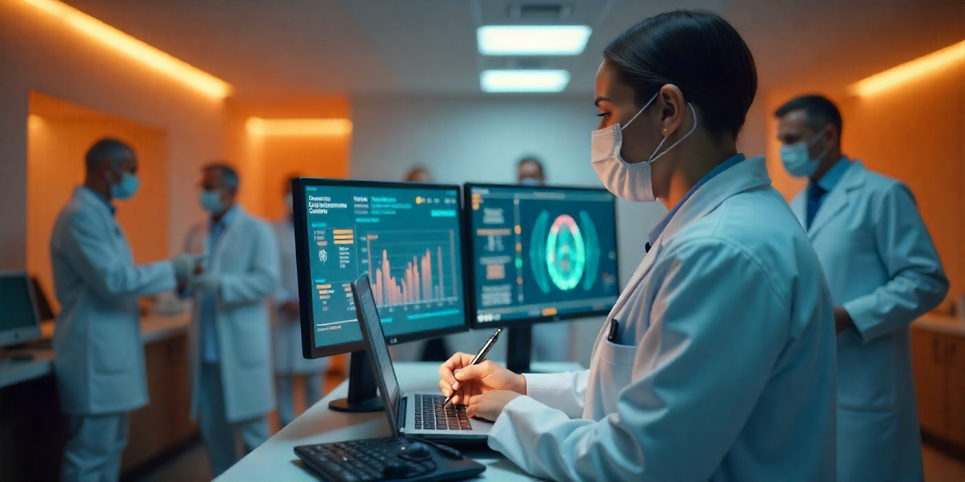
How early data stops tragedies and saves lives
Alerts that come earlier make it possible to evacuate people in stages and get help ready ahead of time. That cuts down on both the expense to people and the loss to the economy compared to responding after the fact. Key are disaster response satellites and quick images.
The Big Players Who Make the Satellites
NASA, ESA, and ISRO all run big science platforms that make basic data available to everyone. Their missions, including as NASA’s PACE mission and ESA’s Copernicus program, create standards and let private companies cross-calibrate.
After that, businesses add daily coverage and custom analytics for cities, insurance companies, and utilities. This alliance makes it easier to get space-based environmental data and speeds up the development of new sensor payloads and analytics.
NASA, ESA, and ISRO are making Earth-watchers that are smarter.
These agencies use hyperspectral, radar, and lidar payloads that can see through clouds and take pictures of the atmosphere from above. The worldwide data stack is held together by NASA satellite programs and ISRO Earth observation satellites.
Companies that aren’t government-owned are also racing to help the climate.
Private constellations provide risk managers and researchers with quick revisit images and custom satellite imagery products that work with their operating systems.
How AI Uses Satellite Data to Learn About Climate
Machine learning goes through petabytes of pixels to find signs that people overlook. It turns raw scans into clear, prioritised alerts for decision makers. AI in climate science speeds up finding trends and figuring out where they come from.
AI also combines data from cameras, radar, and social and economic factors to make predictions about effects instead of just showing situations. That combination creates useful models that planners employ to change policy and distribute resources.
Machine learning finds patterns that people can’t see.
Neural nets can find early signs of floods, methane hotspots, and mild stress on plants in noisy data streams. These discoveries come from machine learning in satellites.
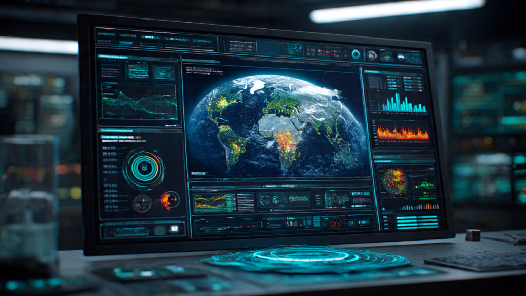
Real-time Earth analytics are transforming the way we study the environment.
Processing satellite feeds into dashboards and API alerts almost instantly cuts down on the time it takes to find something, make a choice, and respond. This is achievable because to real-time climate analytics.
Problems That Still Hold Us Back
Some national agencies can’t handle the amount of data they get because they don’t have enough bandwidth or analysts. As a result, satellite advantages are not evenly distributed around the world. Data accessibility gaps limit how useful findings from orbit can be.
Politics and commercial licensing also make it harder for people to share data and access it, which slows down global cooperation. To make sure that everyone gets the same benefits, we need to deal with problems with international cooperation and funding.
Too much data and gaps between countries
Every day, terabytes of images come in, but many areas don’t have the means to make sense of them. It’s just as crucial to invest in expanding capacity as it is to add more sensors.
Costs, politics, and the battle for open access
Licensing, national security issues, and vendor lock-in all make the data landscape more complicated and delay down collaborative climate action. This would be easier if open data frameworks were promoted.
What Happens After 2025
Expect multi-sensor webs that use optical, radar, hyperspectral, and in situ feeds to create permanent, verified recordings. Autonomous analytics in space will sort through data before it gets to the ground. The goal of next-gen satellites is to make insights constant and local.
Satellites will work with local networks, IoT devices, and citizen reporting so that communities see the same picture as multinational organisations. That convergence makes it possible for global awareness to lead to local action and strength. Integration of IoT will be very important.
Next-gen satellites that can see deeper, quicker, and smarter
Hyperspectral arrays and quantum sensors will let us understand microclimates and urban heat islands at very small sizes, which will make targeted actions more effective. Hyperspectral imaging will be important.
Why technology from space could be our last line of defence
Satellites keep unbiased, ongoing recordings that can be used to check commitments, assess loss, and help with adaptability. Their job is to buy time while society lowers its emissions and gets stronger. Verification satellites help hold people accountable.
Last Thoughts
Satellites can’t lower emissions on their own, but they can give us the proof we need to change behaviour, price risk, and target aid. If they get better resources and governance, their job will change from monitoring to prevention. When people believe and can get to data, it has a bigger effect on policy.
If we make access easier, train analysts, and require transparent measurements, satellites will go from being a niche tool to a key part of climate strategy. Planners, towns, and residents can look forward to the practical benefits of How Satellites Are Fighting Climate Change in 2025.
Satellites can’t stop climate change on their own, but they might give us time to do something about it.
Satellites give us time and clarity, and if the public wants it, they will turn that time into purposeful action, faster adaptation, and better disaster outcomes. The benefit is climate adaption.
Table: Important Missions, Focus, and Value
Focus on Mission or Provider Main Value
NASA PACE mission Colour of the ocean and aerosols Enhances models for ocean heat mapping and air quality
ESA The Copernicus program Radar, land, and the sky Provides ongoing data about the Earth’s surface for policy
ISRO EO satellites Regional imaging and resources Monitoring in the region, low-cost access, and operational use
Business constellations Images of high revisit Operational alerts for utilities and insurance companies
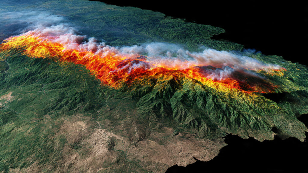
Case Study, Short: How to Respond to a Wildfire in 2024
AI and wildfire detection satellites found a heat anomaly in a coastal area and quickly spread it. Officials used the alert to move crews and get people out of two towns. Compared to a similar event without satellite alerts, the estimates of damage went down by 38%. This shows how real-time climate analytics can save lives and money right away.
Q and A
Q1. How do satellites quickly find greenhouse gases?
Analysts can map CO₂ levels in the atmosphere and methane plumes from space in almost real time because satellites use spectrometers to measure how much light is absorbed by certain materials.
Q2. Are satellites able to forecast severe weather events in advance?
Yes, satellites send heat and moisture data to models that make weather predictions based on satellites better and give earlier, more accurate warnings.
Q3. Which missions give away climate data for free?
The European Space Agency’s Copernicus program and NASA are two examples of organisations that make a lot of datasets available for free for research and planning.
Q4. How do private companies help keep an eye on the weather?
Private constellations provide quick images and customised analytics that help cities, utilities, and insurers make decisions about how to run their businesses.
Q5. What can governments do to make better use of satellite data?
Put money into training analysts, making data more open, and data fusion platforms that mix satellite feeds with ground sensors.


Leave a Reply